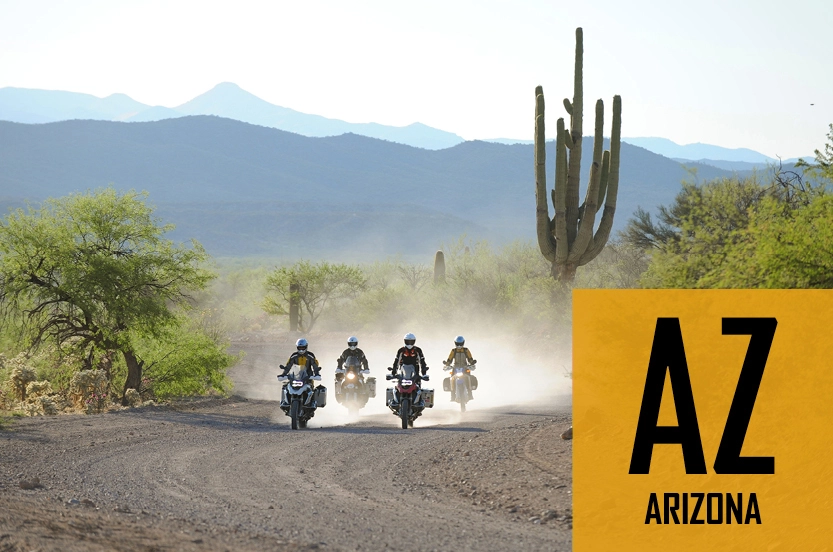
The Arizona Backcountry Discovery Route from the Mexico border to the Utah State Line is 745 miles. This loop includes the best part of the first section of the AZBDR and omits the final pavement to Benson.
Details
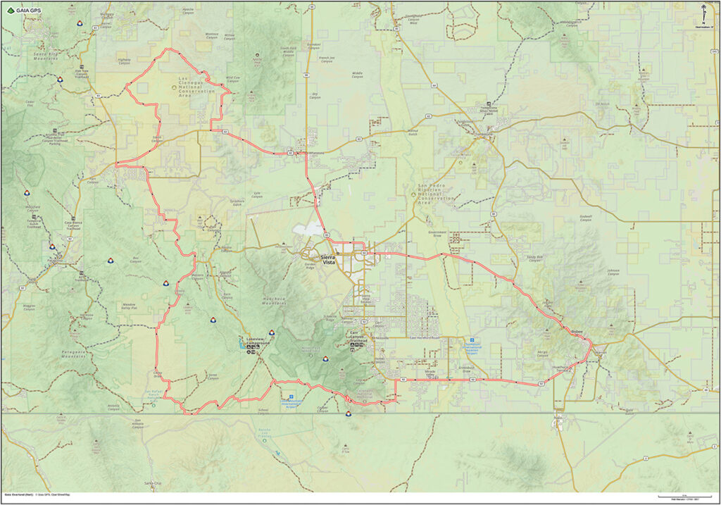
- Location: Southeast Arizona
- Distance: 165 mile loop from the Jonquil Motel
- Gas: Bisbee, Sonoita, Benson, Tombstone
- Difficulty: Easy/Intermediate
- Road Surface: mixed pavement and gravel
- Time: full-day
- Google Map: View Here
- Connects to: XC Border Coaster, XC Grasslands
Description
The ride starts on pavement leaving Bisbee, heading west toward Sierra Vista. Turn left on Coronado Memorial Road. Expect twisty two-lane blacktop as you head into the Huachuca Mountains and enter the Coronado National Memorial. The road turns to dirt shortly after passing the Coronado Visitor Center. Begin climbing a steep dirt road with several switchbacks as you ascend Montezuma Pass. Stop at the parking lot at the top to admire the view and notice the US/Mexico border wall in the distance below.
Follow Montezuma Canyon Road down the west side of Montezuma Pass with nice views of the Patagonia Mountains and the scenic San Rafael Valley. Head north on dirt roads through the grasslands of the San Rafael Valley before riding over Canelo Pass. The road turns to two-lane pavement several miles before reaching the small town of Sonoita which is a good place to fuel up and grab a bite to eat. The Copper Brothel Brewery is a good place for lunch.
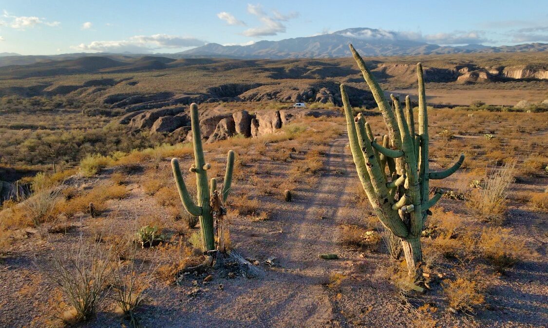
The second part of the day is where the real riding adventure begins as you leave pavement and enter Las Cienegas National Conservation Area. Expect easy gravel roads for the most part during the first half of this section. Once you get to the midpoint of Las Cienegas you will encounter gates and the road will get more challenging. Expect a variety of conditions including sand, rocks, washes and hills. Definitely more adventurous than the first part of the ride!
Leave Las Cienegas and return to Bisbee via pavement through the outskirts of Sierra Vista.
Highlights
- Coronado National Memorial
- Montezuma Canyon Road
- US/Mexico border wall
- San Rafael Grasslands
- Canelo Pass
- Sonoita, AZ
- Las Cienegas National Conservation Area
- Benson, AZ
Waypoints
- Start – Circle K Bisbee – 0 miles
- Gas – Speedway Bisbee – 5 miles
- Gas – Chevron-Bisbee – 5 miles
- Gas – Palominas – 19 miles
- POI – Coronado Visitor Center – 28 miles
- Start of dirt – 29 miles
- POI – Montezuma Pass – 31 miles
- Start – XC Border Coaster – 32 miles
- Start – XC Grasslands – 49 miles
- End – XC Border Coaster – 52 miles
- POI – Canelo Pass – 67 miles
- Gas – Sonoita – 87 miles
- Las Cienegas National Conservation Area
- Note – start gates and intermediate section – 105 miles
- Gas – Whetstone – 129 miles
- End – Circle K Bisbee – 165 miles