This is an adventurous ride across rural Cochise County into the cosmopolitan hustle of Arizona’s second largest city – on back roads through beautiful Sonoran desert country.
Details
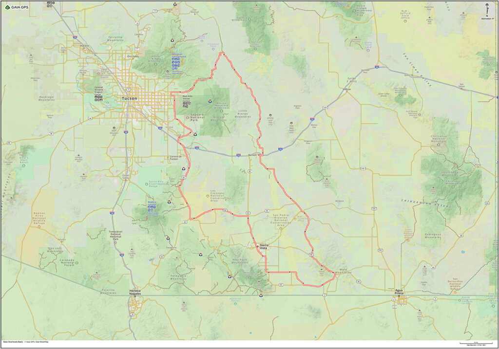
- Location: Starts and ends at The Jonquil Motel in Bisbee, Arizona
- Distance: 213 mile loop
- Gas: Bisbee, Tombstone, Benson, Tucson, Sonoita, Whetstone, Sierra Vista
- Difficulty: Easy
- Road Surface: paved, gravel, dirt, sand, rocks, hills
- Time: full-day
- Google Map: View Here
- Connects to: XC Fish Canyon, XC Santa Rita OHV, XC Carr Canyon
Highlights
- Tombstone, AZ
- Benson, AZ
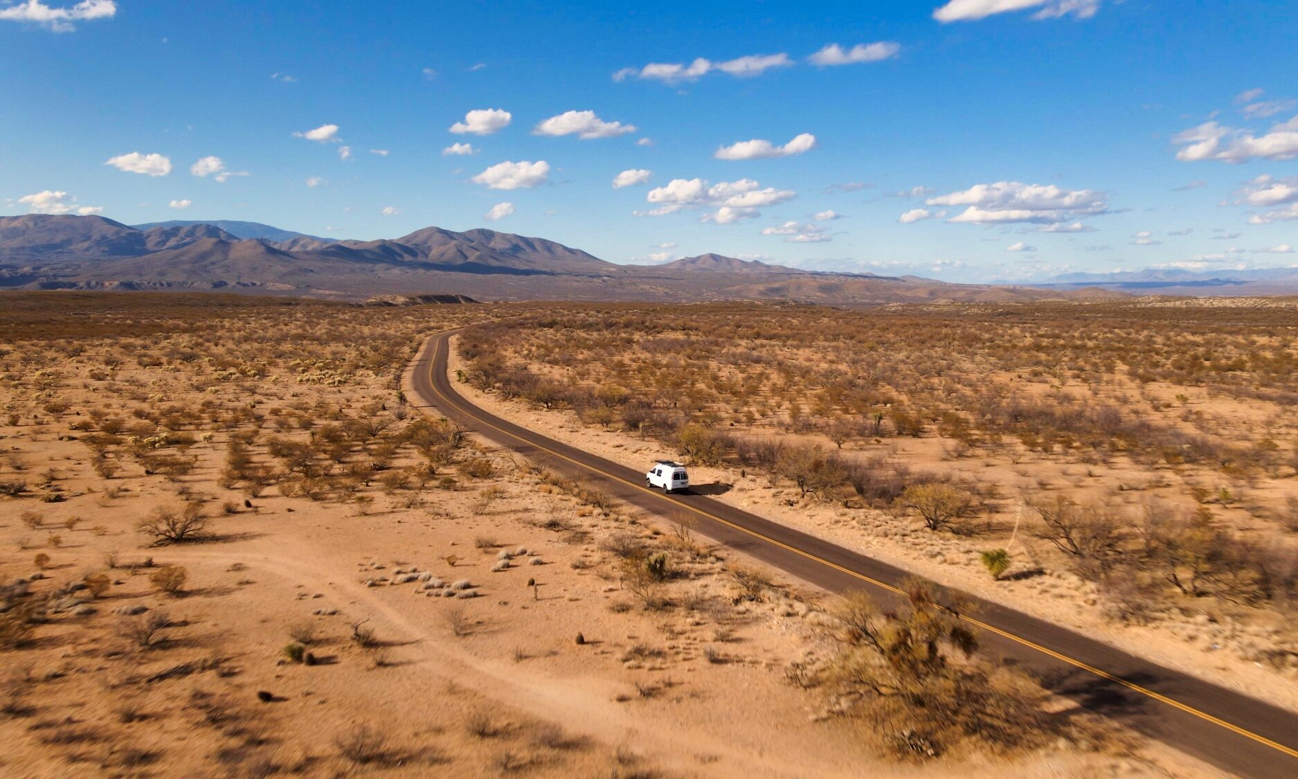
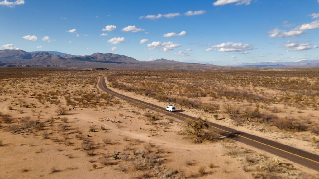
- Cascabel Road
- Reddington Road
- Saguaro National Park East
- Sonoita, AZ
Waypoints
- Start – Circle K Bisbee – 0 miles
- POI – Mule Pass – 2 miles
- Start/End – XC Juniper Flats – 2 miles
- Gas – Tombstone – 24 miles
- Gas – Benson – 48 miles
- Note – Start Dirt – 70 miles
- East End – Reddington Road – 91 miles
- West End – Reddington Road – 115 miles
- Gas – Tucson – 121 miles
- FB – Saguaro Corners – 126 miles
- Gas – Sonoita – 170 miles
- Gas – Whetstone – 189 miles
- Gas – Sierra Vista – 203 miles
- Start/End – XC Carr Canyon – 204 miles miles
- POI – Hereford Bridge – 214 miles
- End – Circle K Bisbee – 233 miles
Cascabel – Reddington Loop | Arizona
Directions
Leave Bisbee and head north on Highway 80 through Tombstone to Benson, Arizona. Cross Interstate 10 and take North Pomerene Road until it becomes Cascabel Road. The Cascabel Road is an easy dirt road through the beautiful Sonoran Desert. Follow the Cascabel Road north and turn left (west) on the Reddington Road, which becomes rougher and more challenging as it heads into the mountains and hills to the east of Tucson. Follow the Reddington Road until it reaches the outskirts of Tucson. Return by pavement to Bisbee.
Pingback:XC - Fish Canyon - Motorcycle Travel Channel
Pingback:XC - Santa Rita OHV Area - Motorcycle Travel Channel